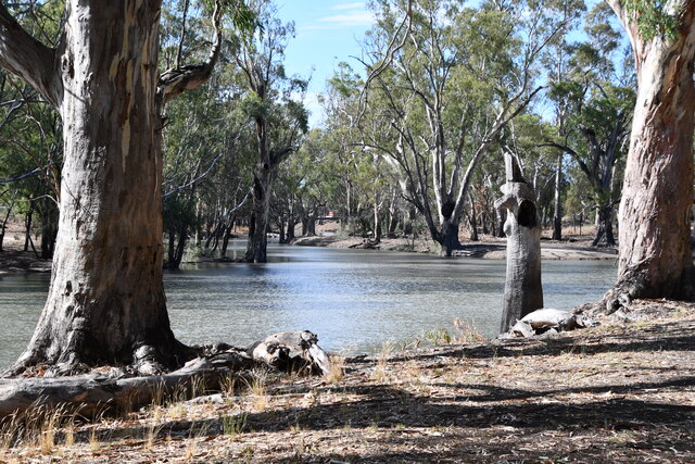
AS FLOOD levels recede in the eastern and central sections of the Murray, Edward and Wakool floodplains, and the flood peak nears the Wakool-Murray junction, concerns are being expressed by people affected, particularly the rural community.
Losses along the floodplain have been significant, in some cases farms have been completely inundated with disruption to lifestyle and damage to crops, pasture, property and roads.
Although flood heights in some areas were in excess of those of 1975, Department of Water Resources records indicate the volumes and duration of the flooding was reduced.
Severe criticism has been directed at authorities over flood problems, including the SWR, and allegations of “bureaucratic buck passing”.
A SWR spokesperson said that one fact that must not be overlooked is that some areas where the strongest concerns have originated are “flood prone” and are subject to inundation even in minor floods.
“Some levees are poorly constructed and maintained, built of unsuitable material and despit advice, are inappropriately located and it is inevitable they will fail. In some cases banks are constructed or raised in the face of rising floodwater.
“Failed levees in some areas certainly have eased the pressure on other locations as proved by the Native Dog Creek levees, downstream of Tocumwal, reducing the peak flow down the Tuppal and Taylors Creeks, and therefore the impact at Deniliquin,” he said.
Unauthorised levees or those not conforming to the floodplain guidelines do present a problem and if landholders do not comply with the guidelines and remove contentious levees or construct levees without approval, the overall floodplain management plan becomes “shaky”.
“Landholders must remember the guidelines were designed at the request of the an organisation which represents them, the Central Murray Flood Mitigation Committee. This committee fully supports the concept of guidelines and their implementation.
“It is acknowledged the implementation has been slow due to other priorities, however the events of the last three years must indicate the matter is now urgent, this has been recognised by the DWR and has increased activity on the floodplains,” the DWR spokesman said.
As the damage is being assessed where water has receded and rising levels are being fought in wester areas, emotions are high, with claims and counter claims rampant. When the floods have receded, the principal parties n floodplain management with DWR, Local Government and landholders need to begin a negotiation process to resolve the many problems.
THE DWR says that some landholders need to review their ability to flood proof in all situations, while others need to assess the effects of their actions on the neighbouring community.
The SWR is keen to convene local landholder meetings to discuss local issues. Matters of major importance can then be discussed by the Flood Mitigation Committee.
Any earthworks on the design floodplain must have approval before construction, applications must be lodged with the DWR, advertised and investigated as required by legislation. In some cases approval is also necessary from Councils.
The DWR is seeking the co-operation of landholders by them providing information on flood damage, and remind landholders flood damage forms are available at DWR and Local Government Offices, Rural Land Protect Board and the Police Station at Tocumwal.