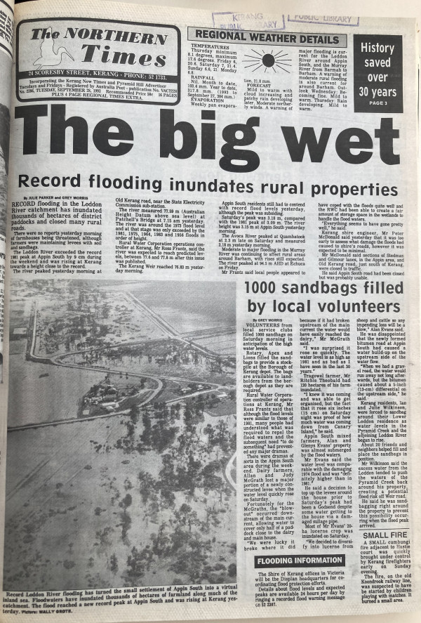
RECORD flooding in the Loddon River catchment has inundated thousands of hectares of district paddocks and closed many rural roads.
There were no reports yesterday morning of farmhouses being threatened, although farmers were maintaining levees with soil and sandbags.
The Loddon River exceeded the record 1981 peak at Appin South by 9cm during the weekend and was rising at Kerang towards a height close to the record.
The river peaked yesterday morning at Old Kerang road, near the State Electricity Commission sub-station.
The river measured 77.59m (Australian Height Datum above sea level) at Patchell’s Bridge at 7.15 am yesterday.
The river was around the 1971 flood level and at that state was only exceeded by the 1981, 1975, 1964 and 1956 floods in order of height.
Rural Water Corporation operations controller at Kerang, Mr Ross Frantz, said the river was expected to reach predicted levels, between 77.6m and 77.8m after this issue was published.
The Kerang Weir reached 76.83m yesterday morning.
Appin South residents still had to contend with record flood levels yesterday, although the peak was subsiding.
Saturday’s peak was 3.18m, compared with the 1981 peak of 3.09m. The river height was 3.15m at Appin South yesterday morning.
The Avoca River peaked at Quambatook at 2.3m late on Saturday and measured 2.18m yesterday morning.
Moderate to major flooding in the Murray River was continuing to affect rural areas around Barham, with rises still expected.
The river peaked at 94.5m AHD at Echuca on Friday.
Mr Frantz said local people appeared to have coped with the floods quite well and the TWC had been able to create a fair amount of storage space in the wetlands to handle the flood waters.
“Everything seems to have gone pretty well,” he said.
Kerang shire engineer, Mr Peter McDonald said yesterday that it was too early to assess what damage the floods had caused to shire’s roads, however it was expected to be minimal.
Mr McDonald said sections of Stedman and Gilmour lanes, in the Appin area, and Old Kerang road, just south of Kerang, were closed to traffic.
He said Appin South road had been closed but was probably usable.
Click here to view the pdf of this article


