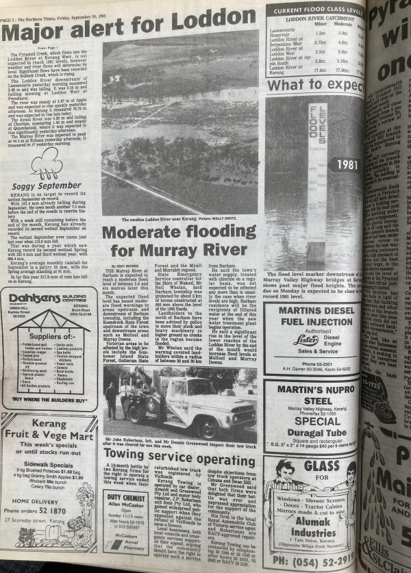
THE Murray River at Barham is expected to reach a moderate flood level of between 5.9 and six metres later this month.
The expected flood level has meant moderate flood warnings to areas upstream and downstream of Barham township, including the Koondrook State Forest upstream of the town and downstream areas such as Mellool and Murray Downs.
Victorian areas to be affected by the high levels include the Gunbower Island State Forest, Gutterum Forest and the Myall and Murrabit regions. State Emergency Service controller for the Shire of Wakool, Mr Neil Whelan, said Barham township as protected by about 3km of levees constructed at 600mm above the level of the 1956 floods.
Landholders to the north of Barham have been advised by police to move their stock and heavy machinery to higher ground as creeks in the region become flooded.
Mr Whelan said the warning covered landholders within a radius of between 20 and 30km from Barham.
He said the town’s water supply, treated with chlorine on a regular basis, was not expected to be affect any more than is usually the case when river levels are high. Barham residents will be the recipients of filtered water at the end of this year when the new water treatment plant begins operation.
He said a significant rise in the level of the lower reaches of the Loddon River by the end of the month would increase flood levels at Mellool and Murray Downs.