Originally Published October 26 2022
THE levee bank in Koondrook is being raised 175mm above the peak of the 1975 flood as part of the town’s defence as the Murray River keeps rising.
Koondrook Fire Brigade captain Ben Watts is in charge of work by his brigade and a swag of volunteers.
Mr Watts will also be responsible for referring any critical issues that need to be dealt with to the emergency management team in Bendigo for resolution.
At Guttrum Forest, Skeeta Verhey and another team have been busy with repairs to compromised levee banks, and pushing up new ones to mitigate the impact of floodwaters.
“Skeeta told my office some of them aren’t the prettiest things in the world, but they will do the job,” Member for Murray Plains Peter Walsh said.
“He says they also had to go a little higher than planned because the soil was already pretty wet, but it will settle.
“Like all our volunteers, the length of the river (and on both sides), Skeeta, Ben and their combined army of helpers are a gilt-edged example of finding solutions – and what we might want our own children, and grandchildren, to be.
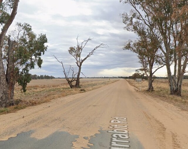
“We also got a quick look around levees around Torrumbarry, escorted by local identity Snow Williams, to see how existing levees have been reinforced and inspected some new levee work being done in critical areas.”
The Koondrook brigade took to social media on Friday to upgrade the border town on floodwater preparations.
“The shire have been out with us today after a leak was reported last night and have surveyed the levee banks of the Murray and have now requested that we lay some sandbags to protect the town,” the brigade said.
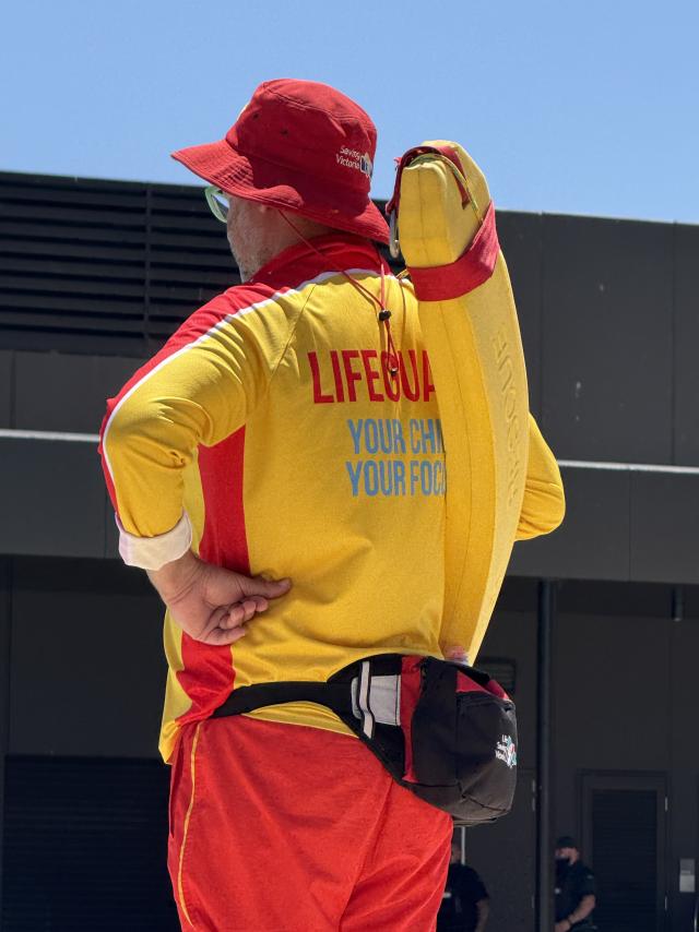
“Before we could bat an eyelid and get a post up, we had SES, Surf Lifesaving, Rapid Relief Team (mechanical sandbagger and catering), council and plenty of contractors in town and together with some locals chipping in along the way as they saw the action filling and shifting sandbags all over town. They even flew in a geotechnical engineer.
“Council have built more levees around the View Street and Punt Road area, and we bagged a few low spots as identified by surveyors and council planners.
“There’s a little more bagging to do tomorrow and a few more surveys to do which will identify the last remaining low points.”
“Once completed this should see a wall at the expected river height plus at least 100mm and in some spots over 300mm buffer.
“Whilst you may not see a levee or sandbag in some spots, that means there is some sort of existing levee already there (roadway or natural land height),” the post read.
“Tomorrow will be a bit more planned after the survey is completed. And we will then let everyone know what the execution plan is. If a lot is identified we may make a community day of it over the weekend if possible, if it’s identified as more urgent we’ll put the call out for help tomorrow and go from there.”

