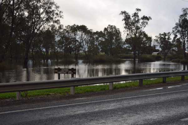

THE district is on track to record its wettest year since the region’s last major floods, thanks to the area’s wettest September in 23 years.
The Bureau of Meteorology’s Kerang gauge recorded 95.0 millimetres of rain last month, close to three times above the long-term average of 35.3 millimetres and the district’s wettest September since 1993, when 103 millimetres was recorded.
Rainfall was recorded on 15 out of the 30 days of the month, with the 22.8 millimetres that fell between 9am on Monday, September 12 and 9am on Tuesday, September 13 the largest figure recorded during a 24-hour period.
A subsequent 19.8 millimetres has already falling during the first four days of October – with 14.6 millimetres falling thanks to a low front that passed over the district on Sunday night.
The 2016 figure is now 419.2 millimetres, which is above the annual average for Kerang and will make this year the wettest since 2011, when 493 millimetres fell.
The rainfall during September helped keep temperatures close to average, with the month’s average minimum (7.4 degrees) half a degree above the long-term mark, and the average maximum (17.2 degrees) well below the long-term figure of 19.0 degrees.
The maximum temperature surpassed 20 degrees three times last month, with September 8’s maximum of 23.7 degrees the warmest day.
However, the maximum failed to surpass 15 degrees on five occasions, with September 18’s high of 11.3 degrees making it the third-coldest days this year.
Evenings were also cooler than usual, with overnight temperatures remaining above 10 degrees on five occasions.
This included the warmest night of September 2016 – 13.8 degrees on September 9 – with the coldest night occurring on September 23, when the temperature dropped to 3.5 degrees.